4 Lakes Hike - Engelberg to Melchsee-Frutt

Working our way up to Jochpass, looking back at the Trübsee.
Hike Summary
This is a great one day hike you can reach from most northern parts of Switzerland given the proximity to Luzern/Lucerne. You do need to watch your time if you want to make the last gondola down from Melchsee-Frutt. We did this hike on 7 July 2018.
Length: 13.43 km (8.3 miles)
Ascents/Descents: 797 m (2614 ft)/690m (2263 ft)
Min/Max Elevation: 1764 m (5787 ft)/2323m (7621 ft)
Hiking time: 4h32min
Getting to the Trailhead
From Basel, we took the train to the destination Trübsee. Basel to Luzern is the first leg of the journey, from Luzern we changed trains to Engelberg. The last leg, from Engelberg to Trübsee is by gondola.
If you buy your ticket via the SBB app you may be asked to get a paper ticket at the gondola station, the scanner did not read the tickets on our phones. Also, note that there are many tourists here going up to see Titlis so it will appear busier then it will be on the hike.
If you prefer to hike from Engelberg to Trübsee you will add an additional 5 km to the distance and 798 m to the elevation plus 2h32m hiking time. Here is the description of the hike from SwitzerlandMobility, Vier-Seen-Wanderung.
As is typical in Switzerland, there is a restaurant at the beginning of the hike. Even though we were eager to get started we had a quick coffee/tea/strudel stop at the Trübsee Hotel. Even with our slight delay at the gondola station and the snack break we started our hike at 11:30.
Here are the specifics of our travel:
Basel - Luzern 8:17 - 9:30
Luzern - Engelberg 9:36 - 10:21
Walk from Engelberg to the Talstation Titlis 10:21-10:34 (follow the yellow hiking signs)
Talstation Titlis to Trübsee 10:50 - 11:00 (delays with getting the paper ticket and lots of tourists)
Total travel time is 2h27m
Trübsee to Jochpass - 0-3km
If you wanted to cheat a bit more you can take the gondola from Trübsee to Jochpass, this would save you the half of the days elevation gain, 340 m (1115 ft).
From the Trübsee Hotel follow the signs for Vier-Seen Wanderung, hike number 574. This will take a turn left from the main path just as you are passing the lake so if you walk all the way to the next gondola station you have gone too far!
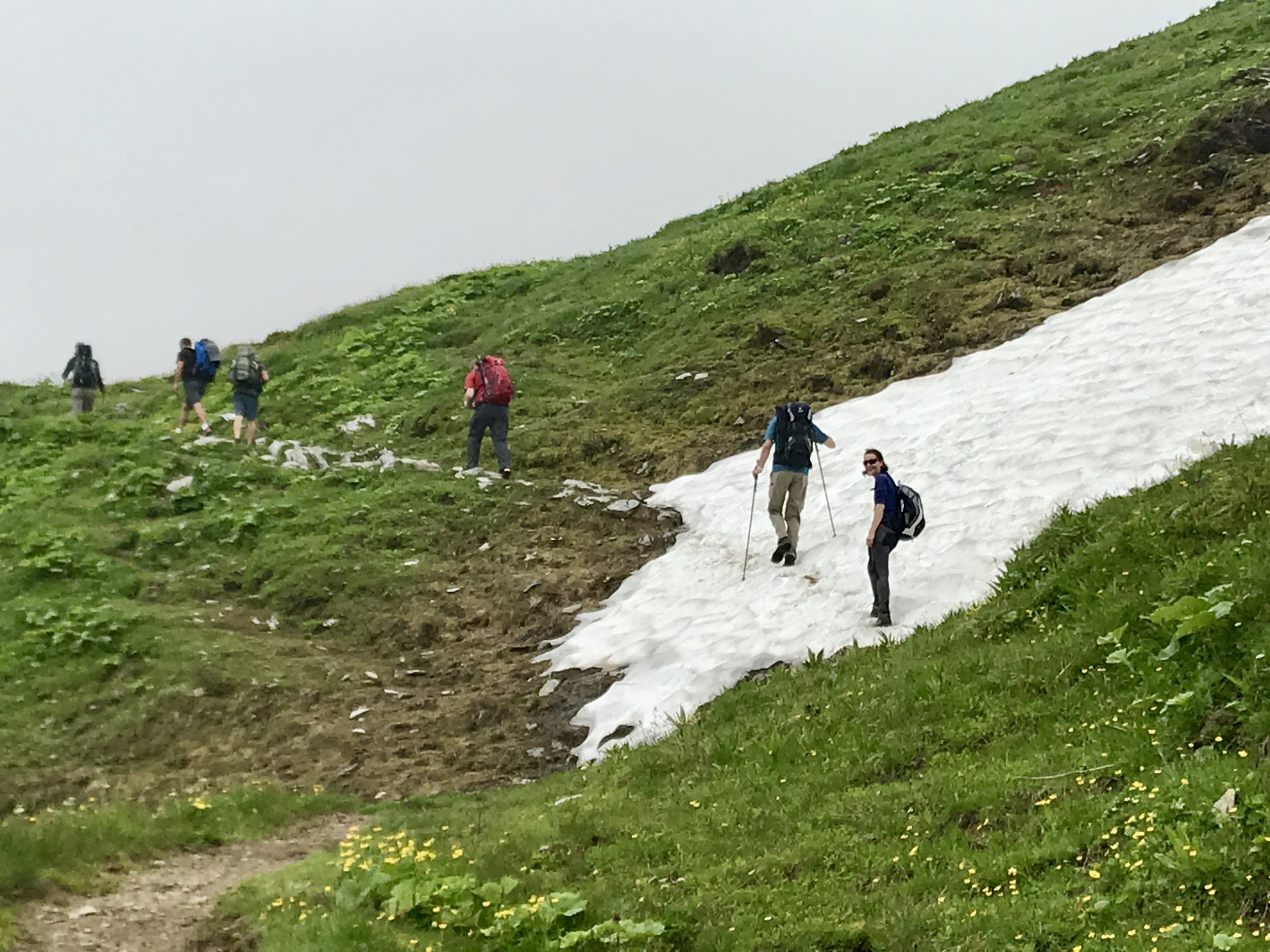
This first 3km of the hike is a pretty intense climb with switchbacks. This is the most intense part of the whole hike so once you get through this part you are golden for the remaining distance. Why do this part? Well, on a good day you'll get views of Titlis, Engelberg and the surroundings. We also passed over a couple of snow fields which is always a fun thing to do in July.
The day we did this hike it was a bit overcast so we hiked mostly in the clouds which is always a possibility in the mountains. Once we did reach the Jochpass the other side of the pass was sunny and wonderful. It took us about 1 hour to climb this section.
Jochpass to Tannalp - 3-9km
Here is where my version of the 4 lakes hikes will differ from the version on SwitzerlandMobility (dotted red line), I took us on the high path to stay away from the tourists. You can continue to follow the signs for hike 574 but this article will be describing the hike as I have mapped it (solid red line).
From the Jochpass we had a bit more elevation to gain before the trail started to head in a general downward direction. Here, like in the first part of the hike, the trail is only one person wide. If I had chosen the more popular trail you can walk 2-3 side-by-side.
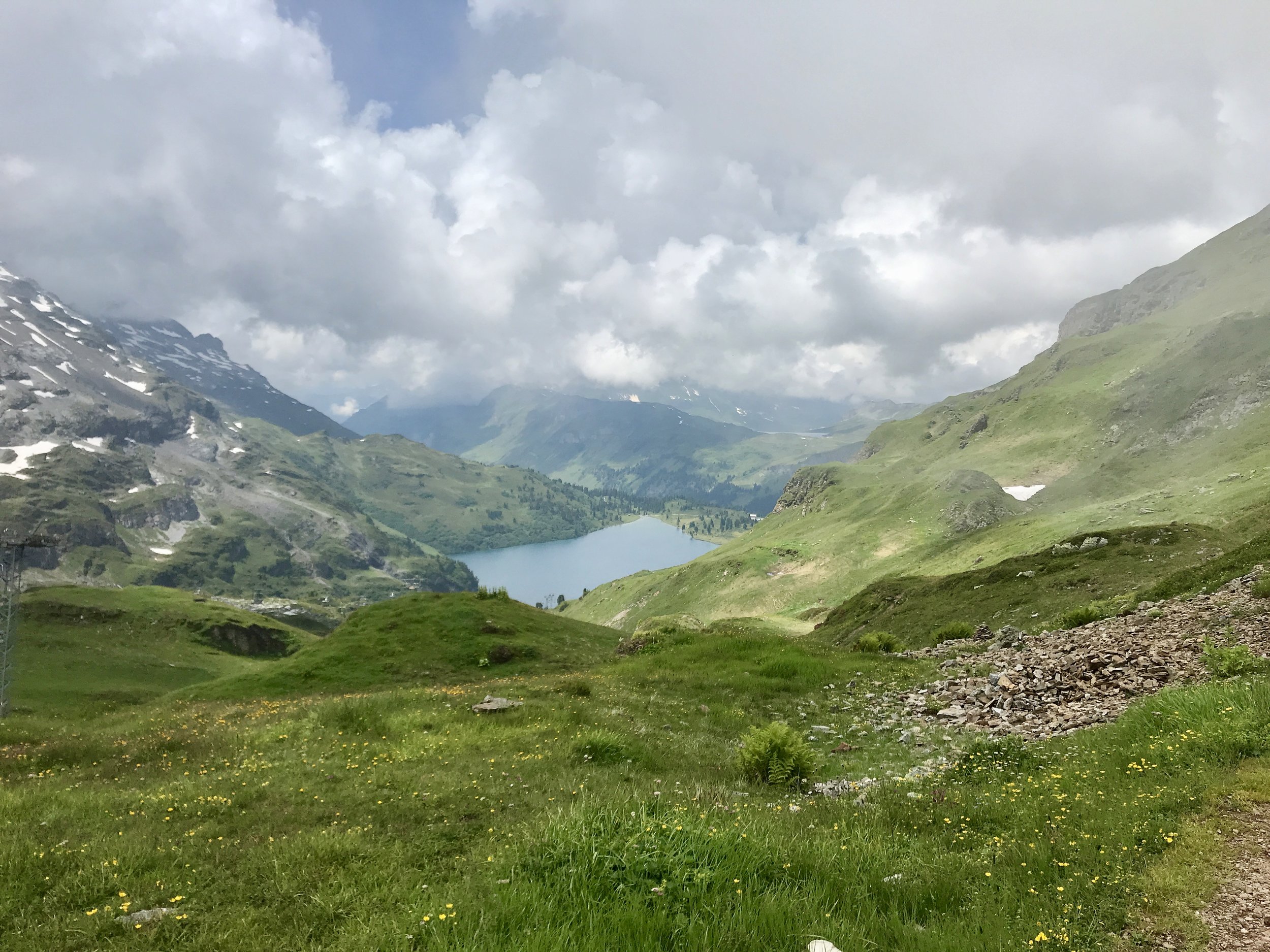
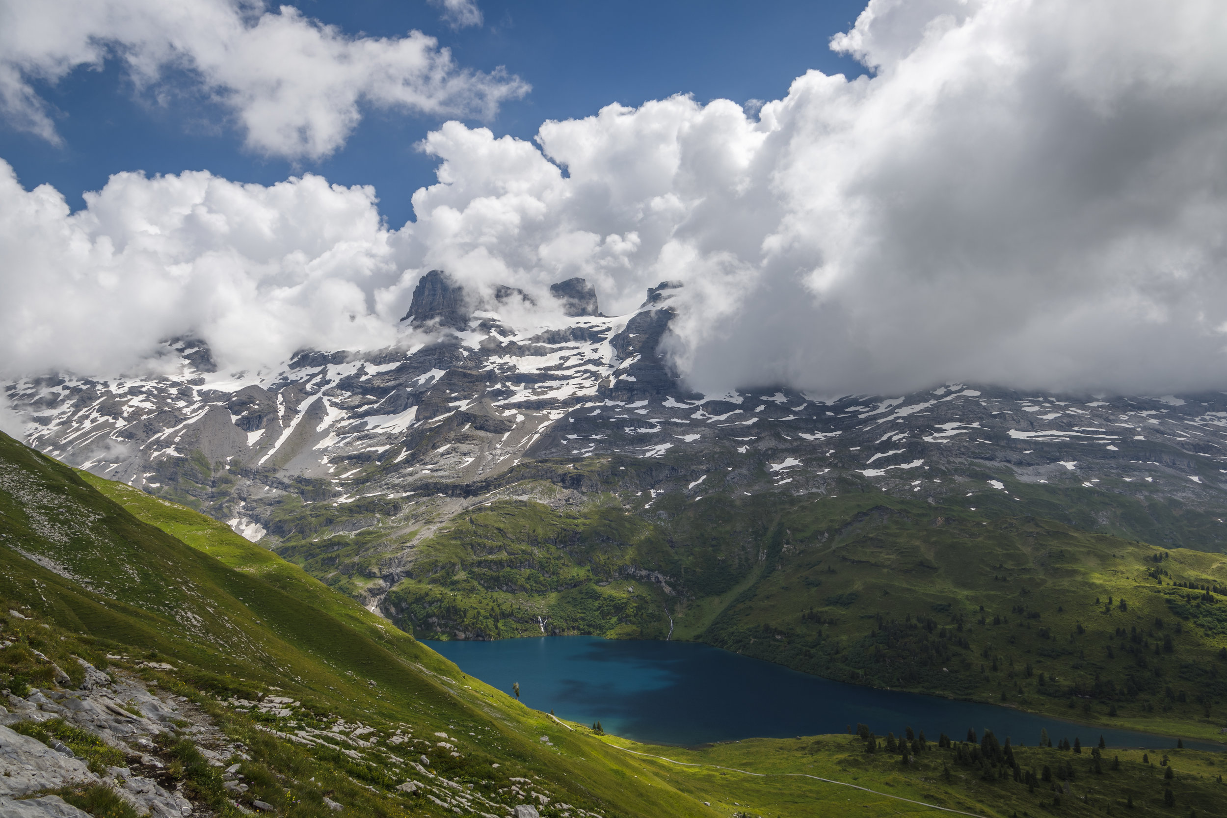
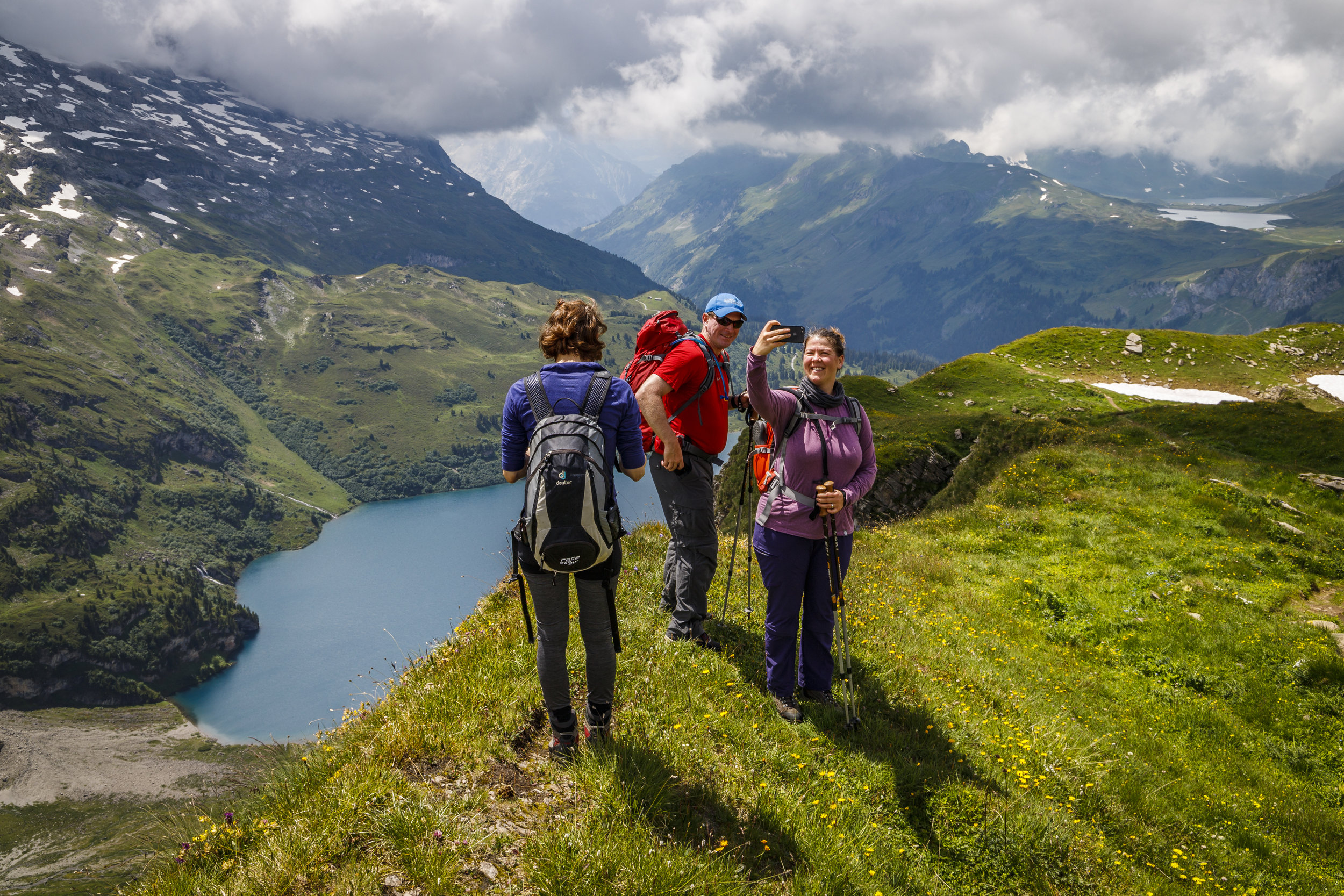
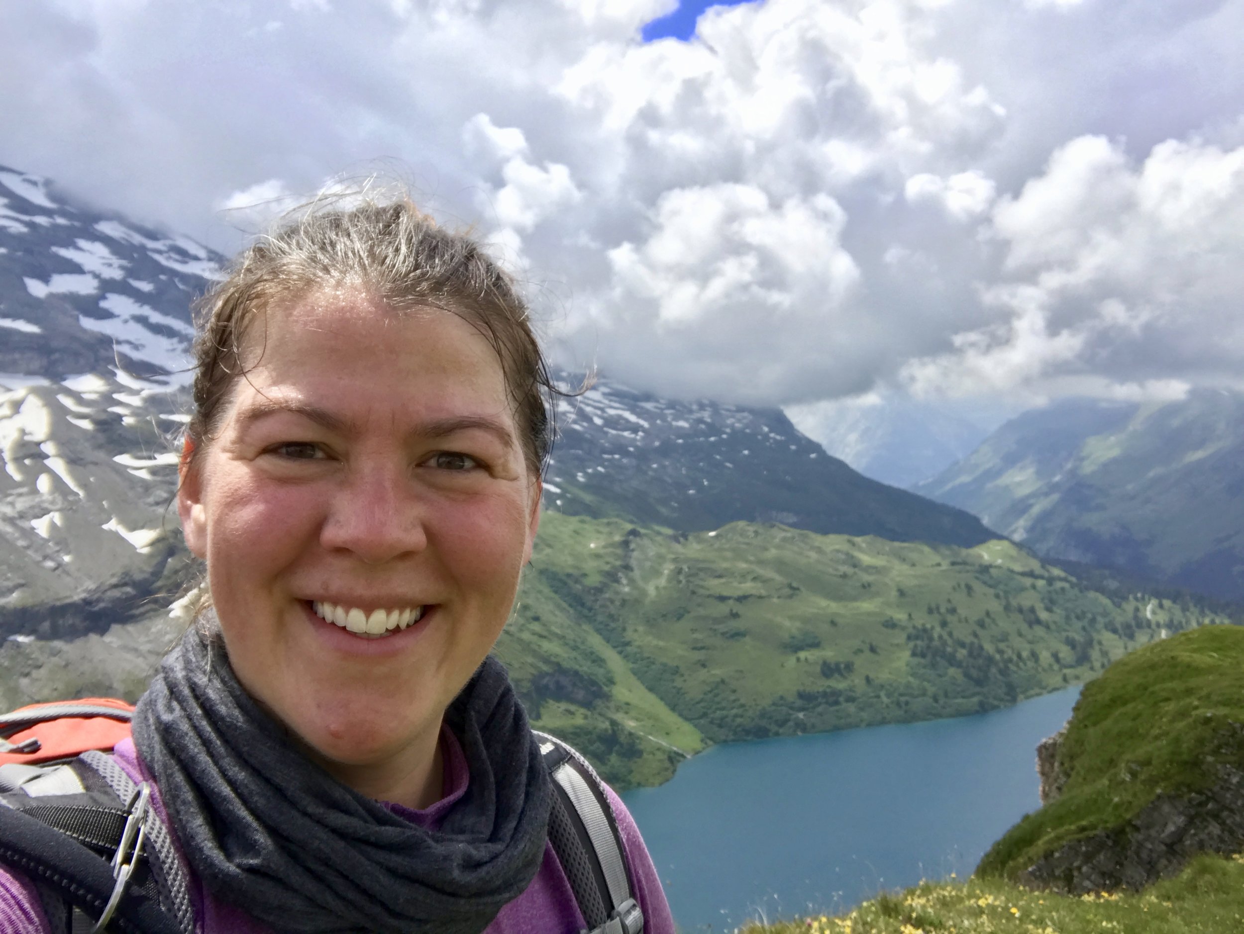
On the higher trail you can definitely have great views of the lake Engstlensee for about an hour while hiking. You will be above the tree line so there are also great views of Titlis, Reissend Nollen, Wendestöcke, and Mähren mountains on the opposite side of the valley. Make sure you get a good photo of the valley Gental as you pass that too.
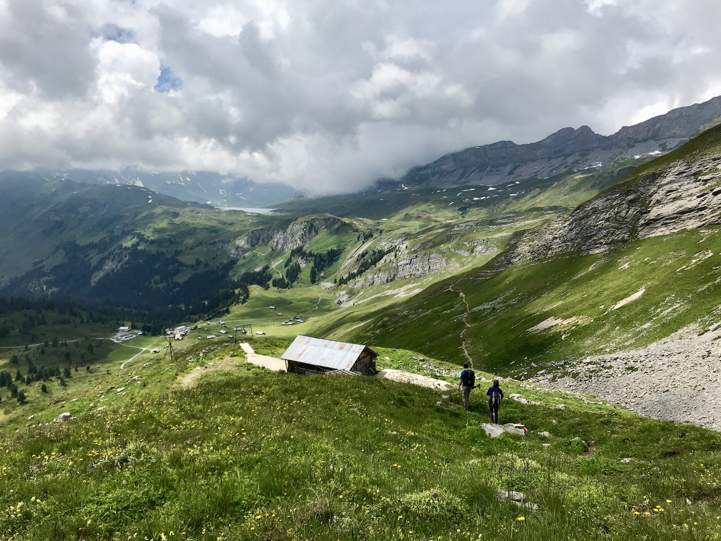
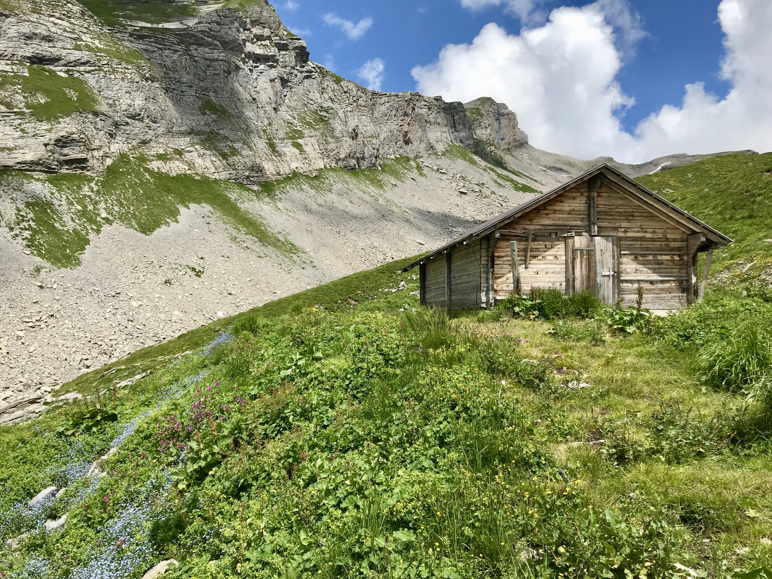
There are several spots along the way to stop for a picnic lunch in the grass with a great view. You'll pass many little streams which are quite easy to cross. As soon as the trail starts to pass some buildings you are not far from Tannalp where a restaurant awaits you!
In my original idea for this hike I would have stopped an the Berggasthaus Tannalp for the night. It took us about 2h20m to reach Tannalp from Jochpass. At Tannalp they have the possibility to sleep in their dairy barn or in the straw which is something still on my bucket list in Switzerland. Unfortunately, I booked too late and it was not available. Prices range from 65CHF for the dairy barn to 100CHF for a double room.
Instead we just stopped for a beer, a pair of wienerli and some soup as a late lunch before continuing on the final leg of the hike.

Tannalp to Melchsee-Frutt - 9-13.4km
I again chose to take our group on an alternate version of the hike from Tannalp. Normally you would hike around the lake but going that way is not quite as nice as going high and away from the crowds.
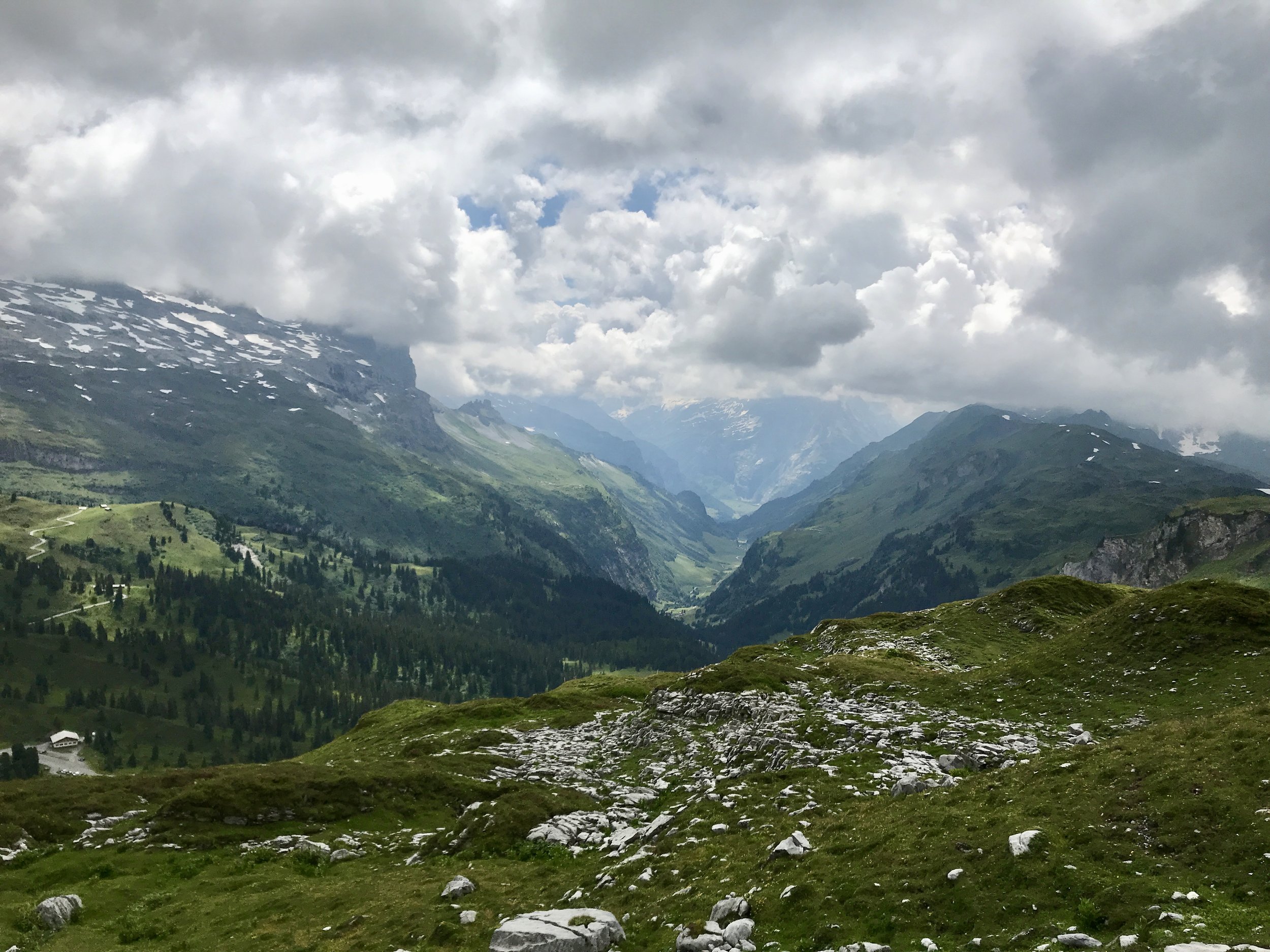
Along this route there are many little streams to cross and views of Balmeregghorn, Talistock, Rothorn and Glogghüs to the south-west across the valley. We also heard an alphorn playing and eventually caught up to the guy who seemed to be playing for the running race that was happening that day. Every time a racer went by he started to play. It never gets old to hear an alphorn playing in the mountains!
If you bring binoculars take a look up to your right as you pass Bonistock. That wall is covered with climbing routes and you'll often see and hear people climbing. Plus if you want a try a via ferrata there is one somewhere on the wall, it's quite small but can give you a taste. You can rent gear in Melchsee-Frutt.
We made it to Melchsee-Frutt at 16:45, the last gondola goes down at 17:30 (always check the timetable as it may change). So if we had wanted to head down we could have done that but as it were, I was able to book a hotel room for the night at a less than ridiculous rate. We stayed at the Fischers AlpenHotel, they had an awesome apartment style room and a great dinner menu. I can completely recommend it!
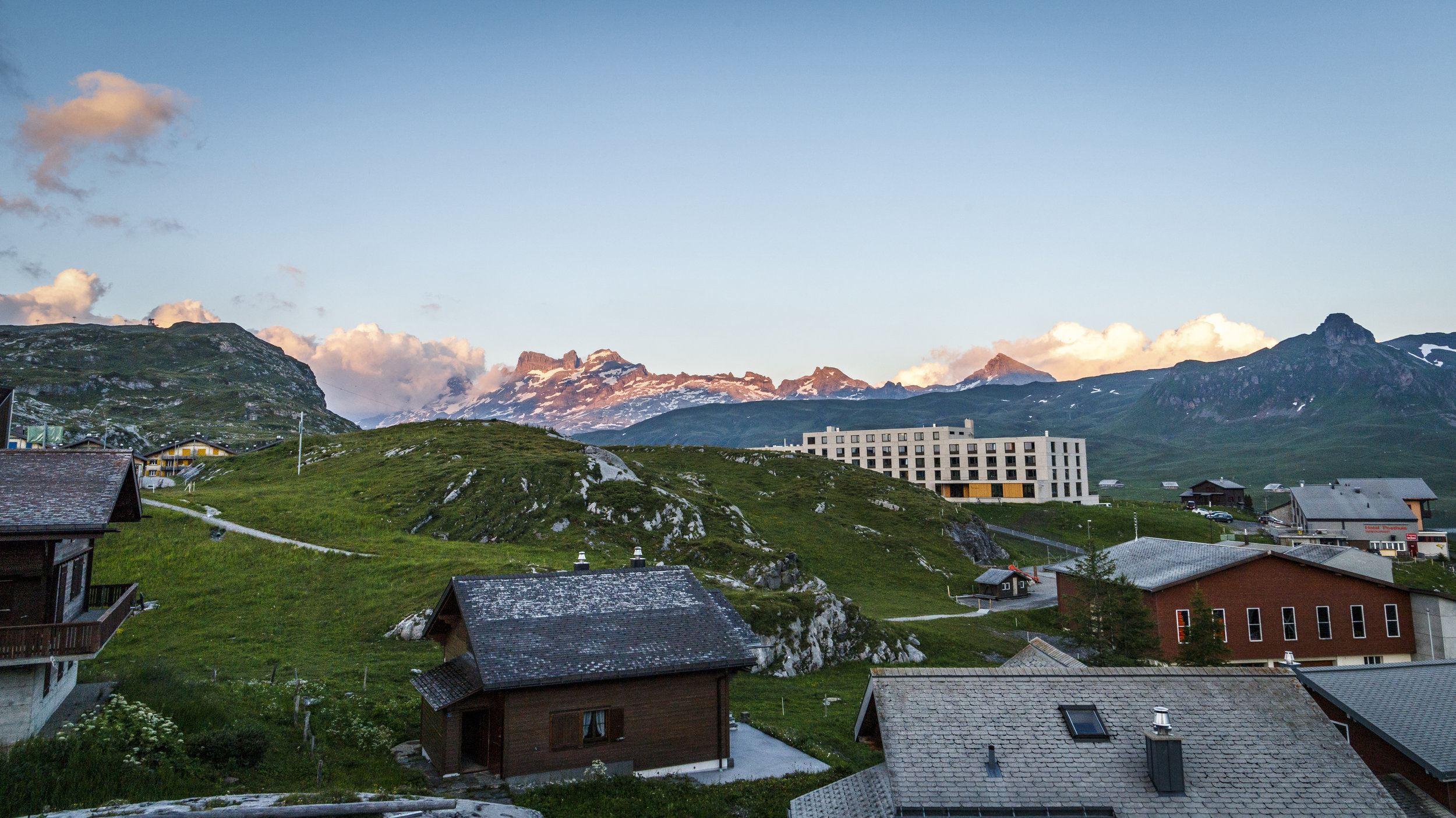
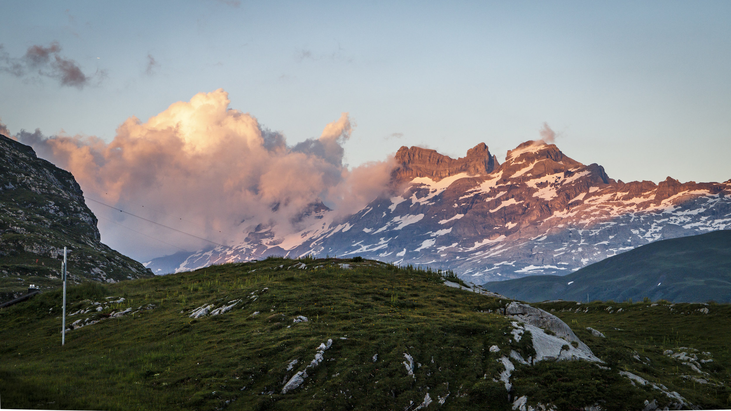

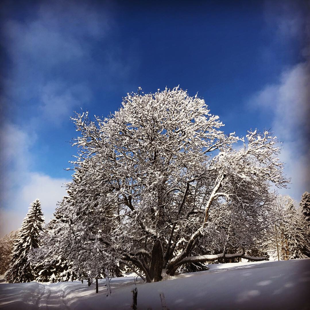
Jörn went out from 10pm-12am to get this great shot from Melchsee-Frutt.
DISCLAIMER:
This is NOT a guided tour.
Hike this tour at your own risk.
It is your own responsibility to assess the requirements, difficulty, and risk of this tour as well as your capabilities and fitness condition.
You need to assure adequate equipment (boots, clothes,...) and insurance coverage.
Always check the weather forecast.
If you are unsure about anything, do research further detail e.g. on the internet. The author does not warrant the accuracy or completeness of the description of the tour.
The author holds no responsibility for any injuries or death that might result directly or indirectly from hiking this tour.
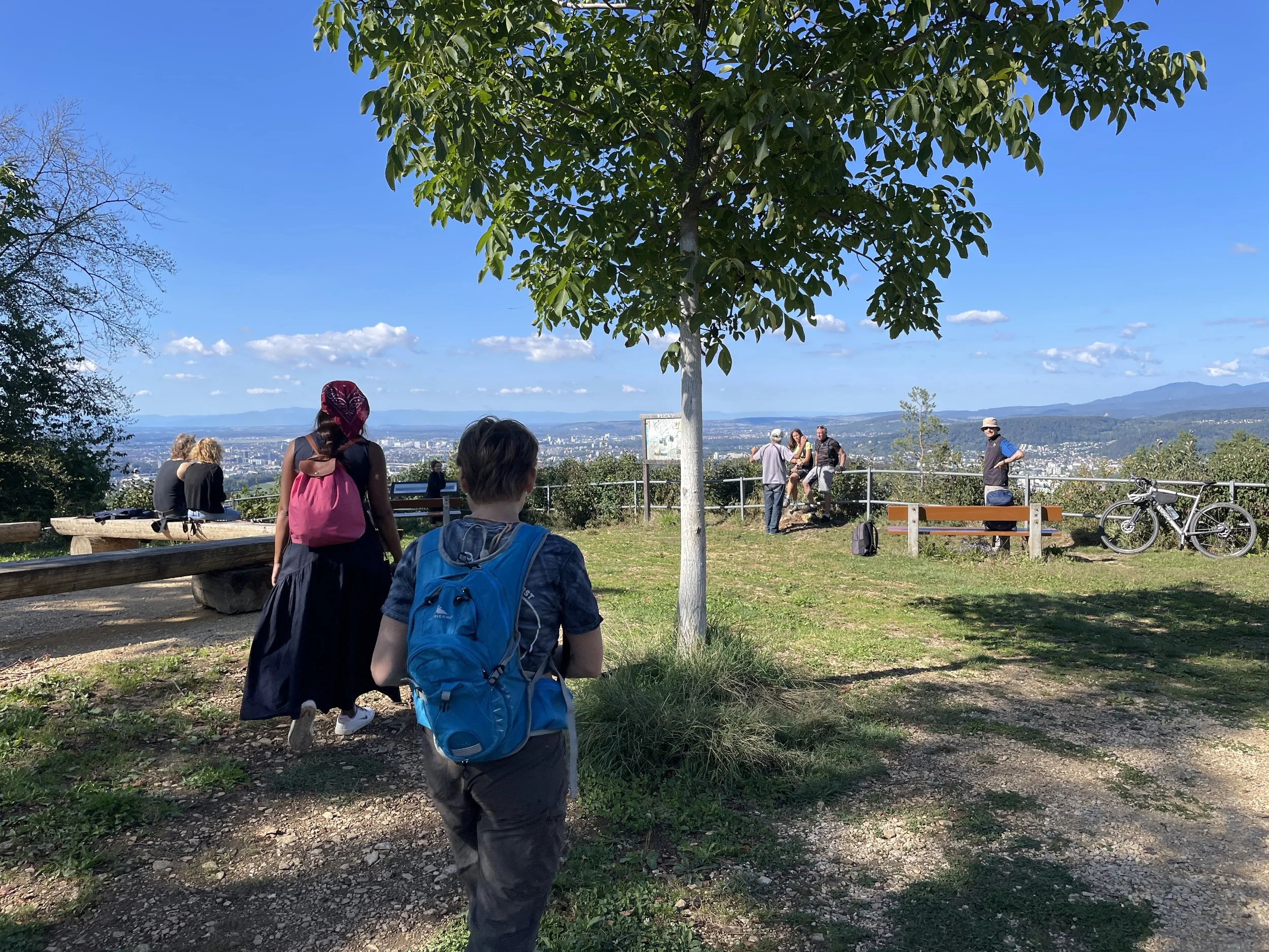
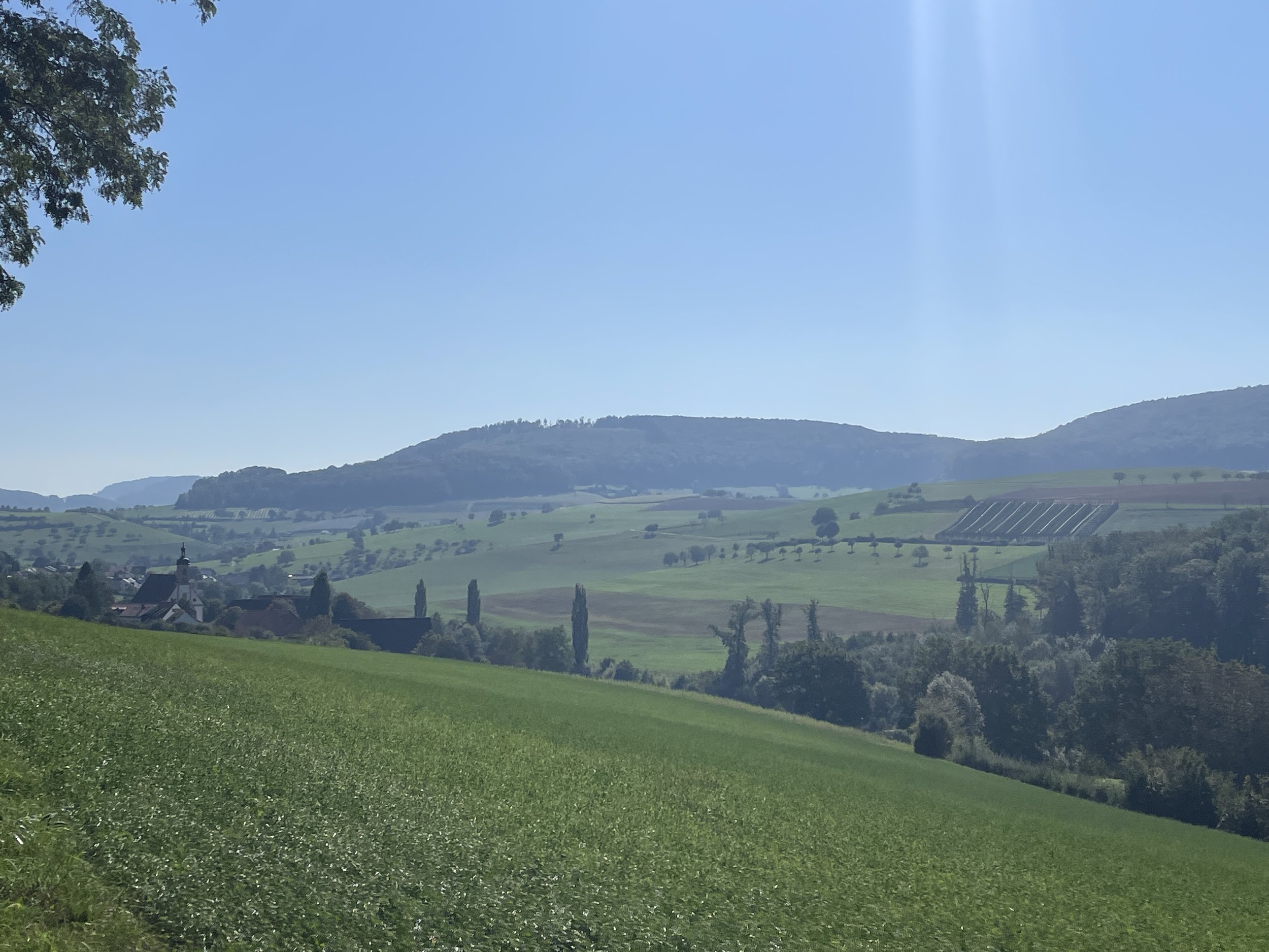


Take a leisurely stroll through Bruderholz, Basel, where a short, easy walk offers a delightful escape from the city. Explore the Bruderholz Water Tower, uncover hidden 'cut-your-own-flower' fields, and meander through peaceful farmland. Discover a perfect Sunday afternoon getaway just a tram ride away from Basel!