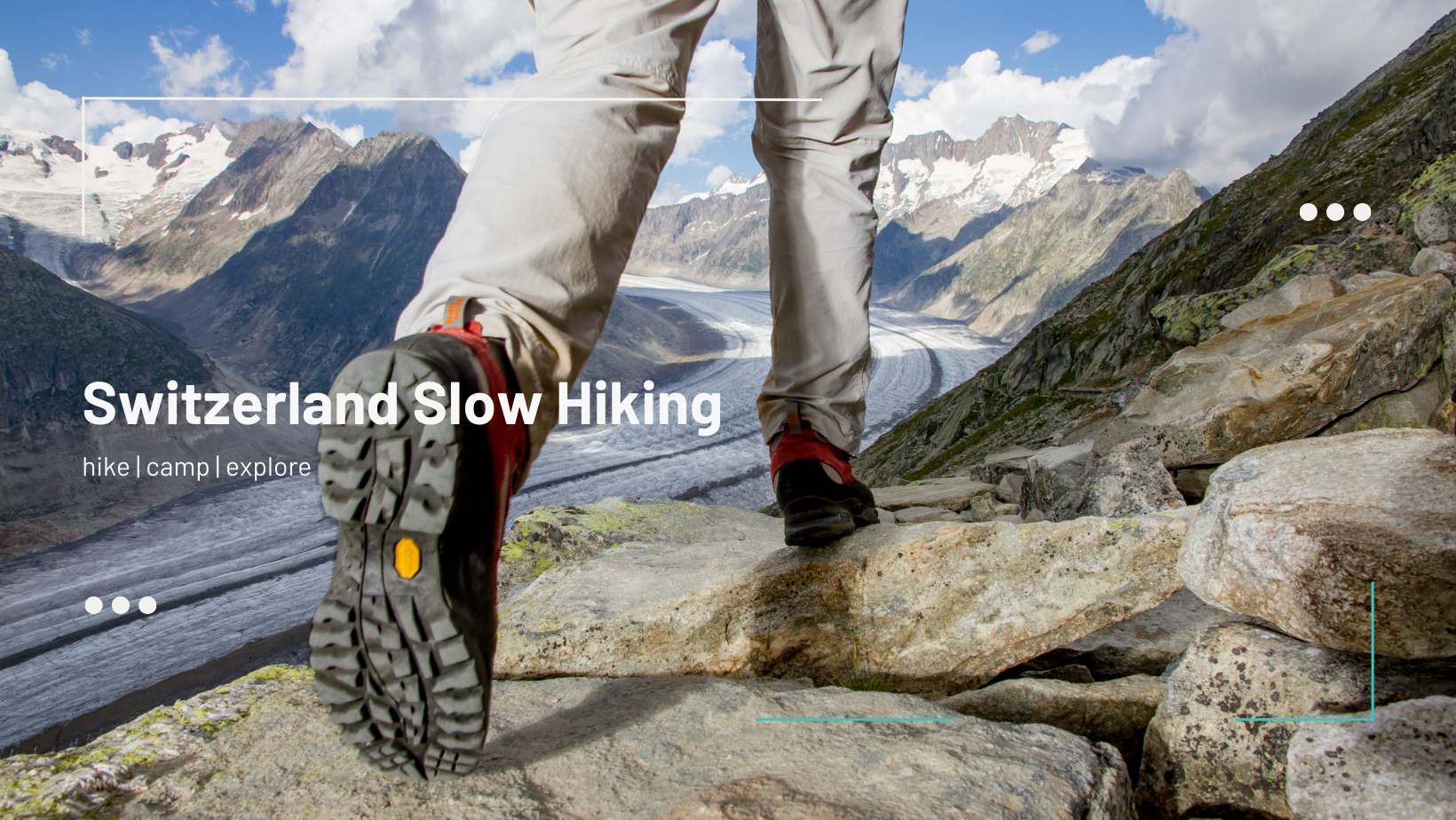
Buus to Rheinfelden Hike

Hiking map by Schweizmobil - Buus to Rheinfelden via Sunneberg
Distance: 12km
Ascent/Descent: 283m/444m
Hiking Time: ~3h10min-3h45min
Switzerland Grade: easy
Switzerland Fitness: easy-medium
Photos of the Hike


This is a delightful hike with a great stop mid-way at the Sonneberg Tower.
Start by arriving by bus to Buus (hehe), then follow the yellow marked trail up for just about 0.5km. This is the first steep section but it’s not too long or too high. There is a bench at the top in case you need to catch your breath.
For the next 3km the hike is gently gaining altitude. At the 3.7km mark the ascent to Sonneberg starts and it takes 1km of climbing to reach the summit.
At Sonneberg plan to take a nice rest. Buy a drink or a sausage (on Sunday) or bring your own picnic. There is a bathroom! For a couple of francs you can also climb the tower to get some great views.
Once you are refreshed, start down the north side of the summit. Here it’s a bit steep so watch your step if it’s wet. There are exposed stones and leaves that add to the complexity. You may wish to use a pole or two for this short section.
At the 5.6km mark you’ll come out from the forest to views south over Maisprach and Magden. You’ll enjoy these views for 2km before heading back into the forest and beginning the descent to Rheinfelden.
There are multiple optional routes but this hike follows the yellow marked way. Soon you’ll pass over the highway and along the Schiffacker sports area before walking through Rheinfelden.
You’ll arrive at Rheinfelden train station but you can also make a detour to Sole Uno or old town if you want some relaxation or a refreshment.
Have you done this hike? Leave me a comment!
Don't let fear hold you back from hiking!
Our group makes it easy, fun, and enjoyable for all, regardless of your mountain experience or fitness level.