Kaiseraugst to Rheinfelden Hike

Hiking map by Schweizmobil - Kaiseraugst to Rheinfelden via Frauewald and Niderwald
Distance: 10km
Ascent/Descent: 235m/224m
Hiking Time: ~2h30min-3h00min
Switzerland Grade: easy
Switzerland Fitness: easy
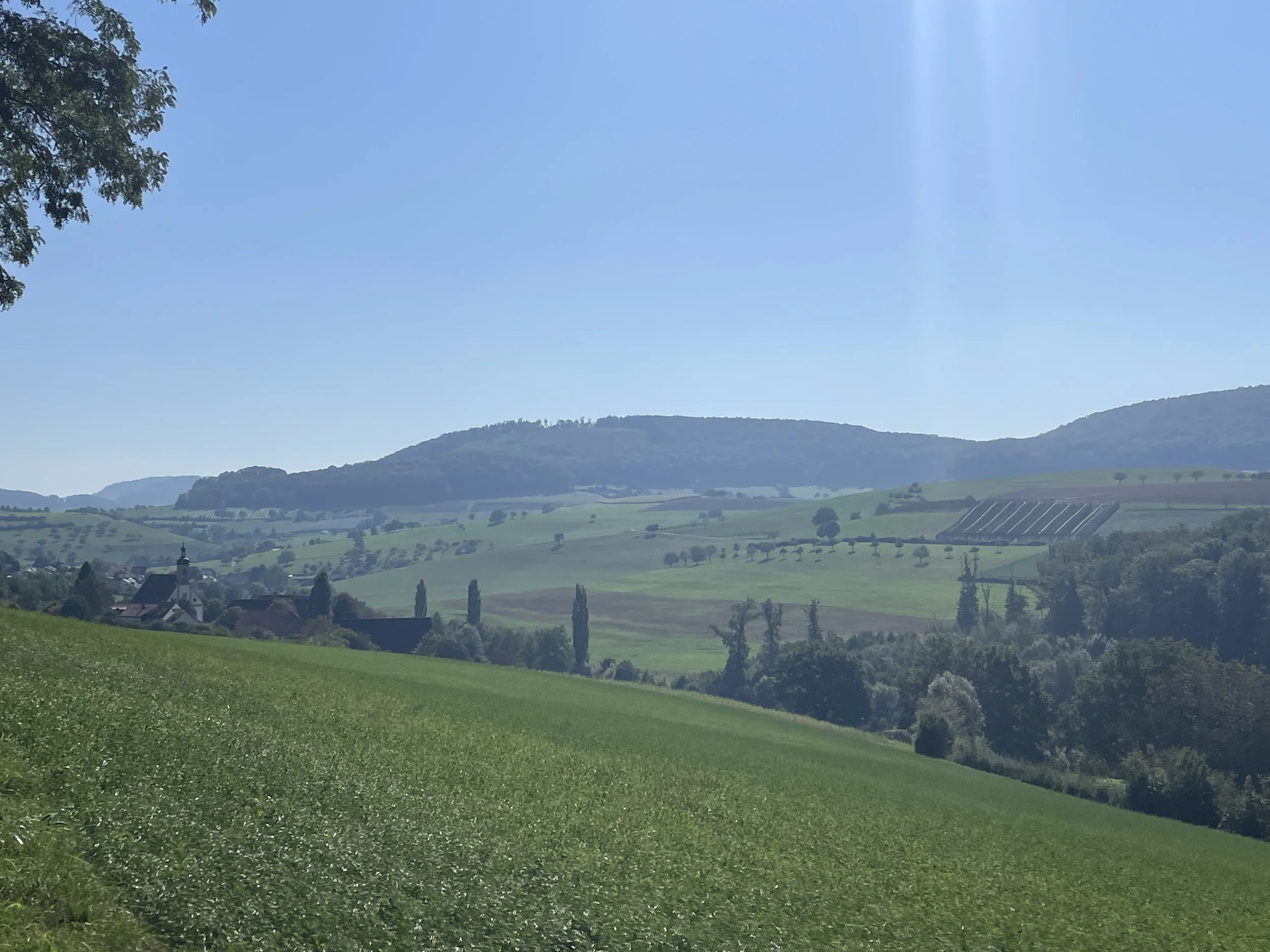
Nice, relaxing hike from Kaiseraugst, through the Frauewald and Niederwald, into Rheinfelden.
This is a great beginner hike and doesn't require any special equipment. You could wear trainers or boots, it's up to you, but maybe not sandals.
Photos from the hike


We start this hike at the small train station at Kaiseraugst. Turning your back to the station we start by walking 1km along a paved path until we get to a street. The hike turns left (east) but you can detour to the right and visit the Augusta Raurica animal park. It’s free! (There is a bathroom in the observation tower).
Once you’ve had your fill of sheep, ducks, pigs, and geese, head back across the street to continue on the hike. You’ll hike about another 1km on the pavement passing the little gardens, Roche, and finally over the highway.
At the 4.0km mark you can decide to continue on following the yellow marked path or you can take a detour to visit the renovated Kloster, now used as a children’s home. We found the goats just on the edge of the klosters.
Getting back on the hike is easy, just follow the yellow signs and head towards Rheinfelden. At the northern point above Olsberg the hike wanders back in to tree cover making this a great hike for hot, sunny weather.
At the 9.2km mark you’ll emerge again at the highway and civilization as you walk through the Kapuzinerberg neighborhood of Rheinfelden.
The hike trail takes you directly to the Rheinfelden train station but feel free to wander into old town to get an ice cream, a cold drink, or a dip in the Rhein.
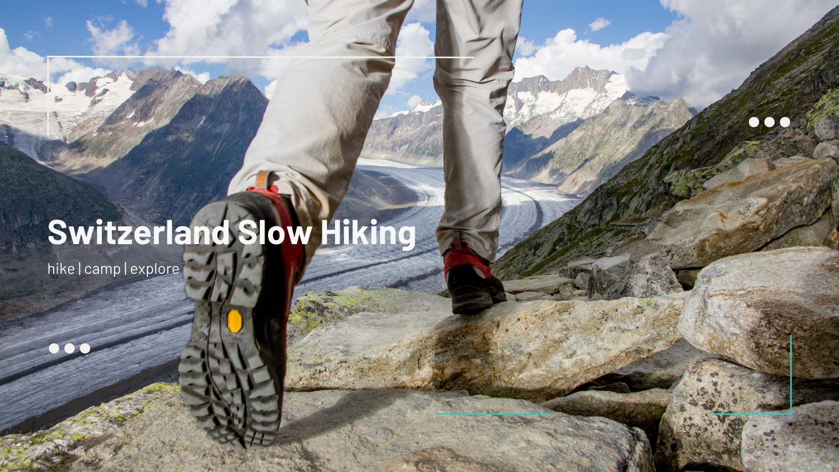
Don't let fear hold you back from hiking!
Our group makes it easy, fun, and enjoyable for all, regardless of your mountain experience or fitness level.