Sunday Winter Hike - Muttenz to Pratteln
Hiking by the Numbers
3 hours = total hiking time including stops for pictures and snacks
7.5 km (4.6 mi) = distance
280 m (918 ft) = elevation gain
Description
The hike is a sub-section of the Swiss National hike #7 ViaGottardo Section 1 Basel to Liestal.
0-2 km (14m gain); Leave the Muttenz train station and follow the trail signs for ViaGottardo 7, walk through the lovely village of Muttenz on the Hauptstraase (Main Street). Around 1.64km there is a beautiful church, St. Arbogast Kirche, surrounded by a defensive wall. Shortly after the church the incline begins.
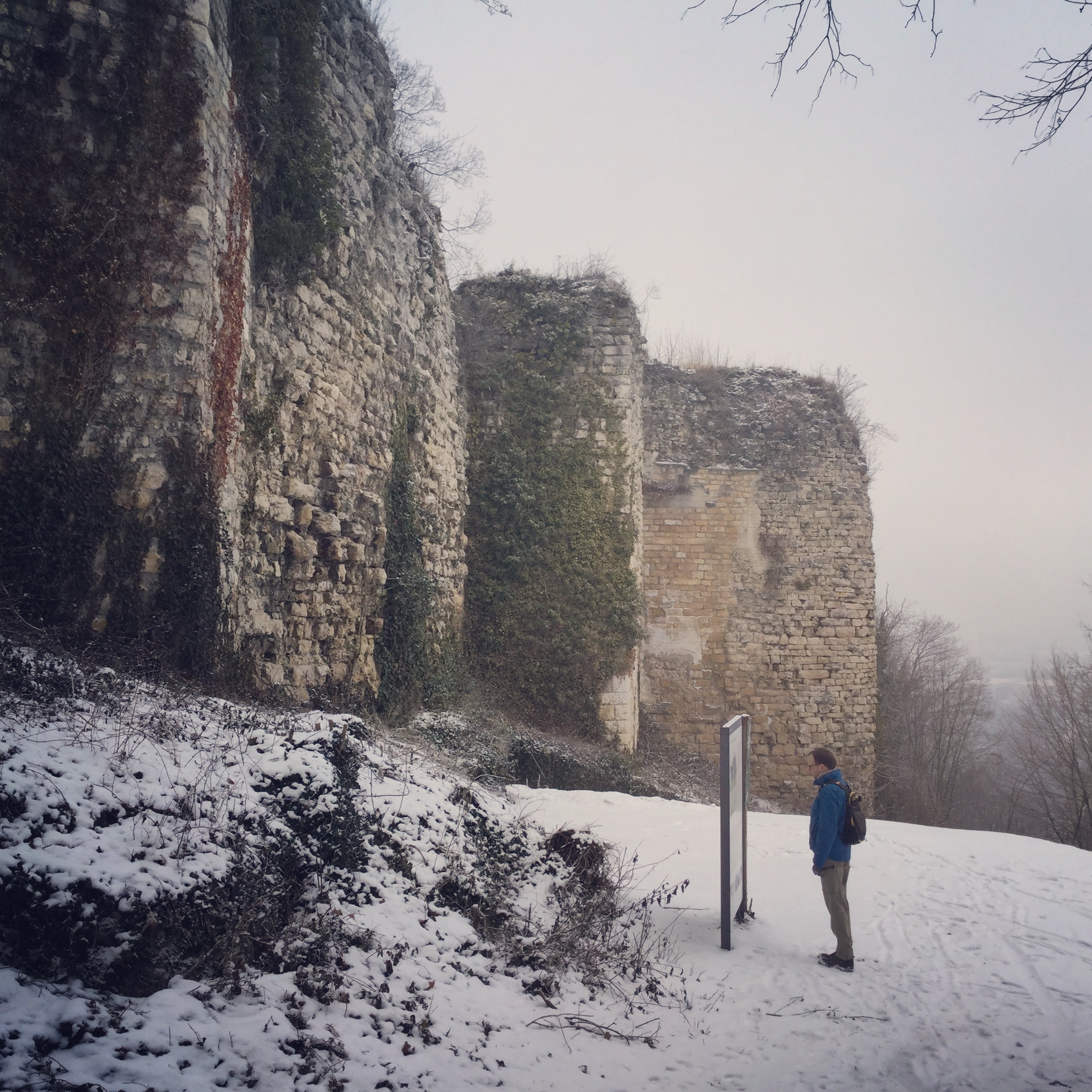
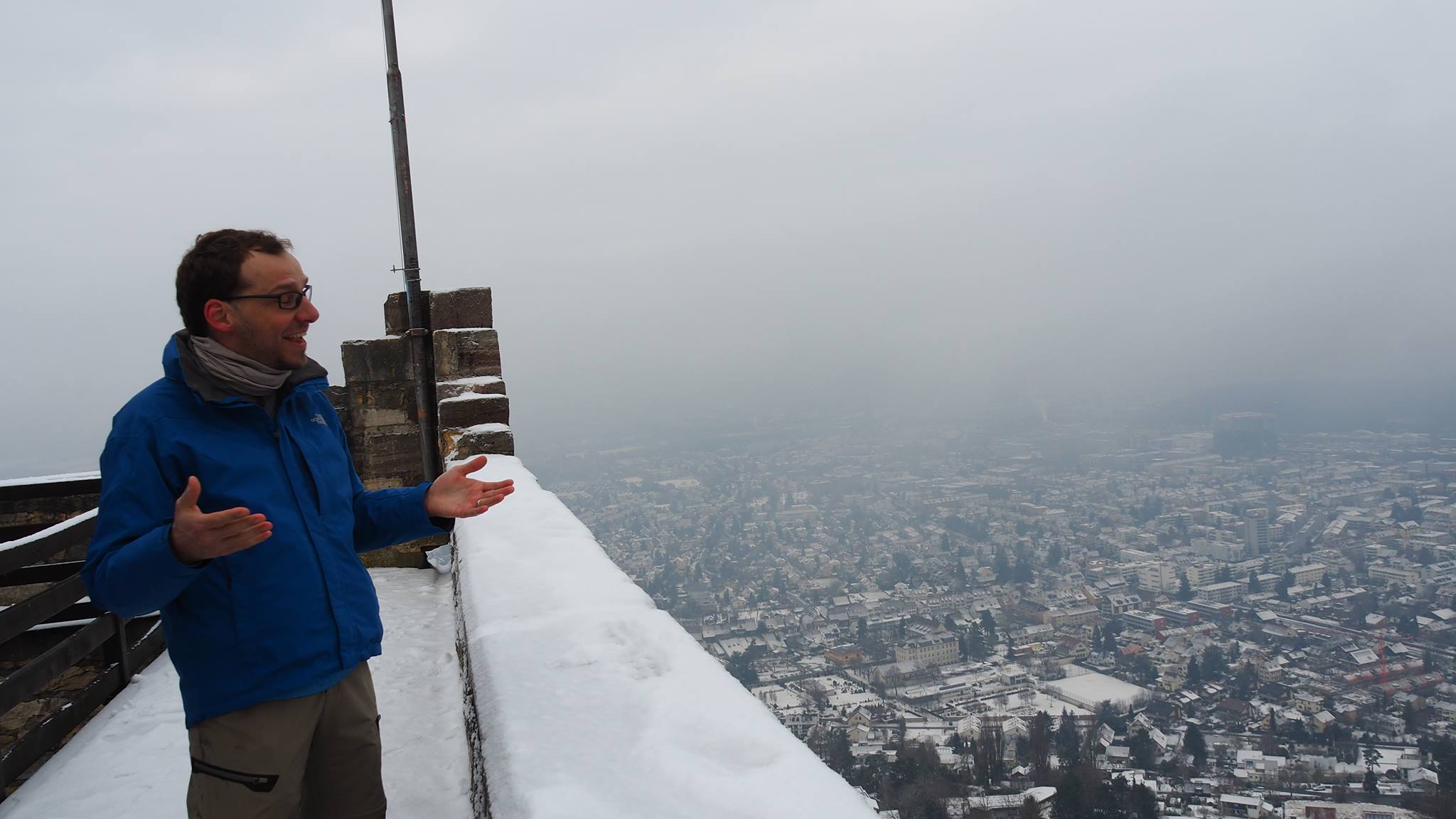
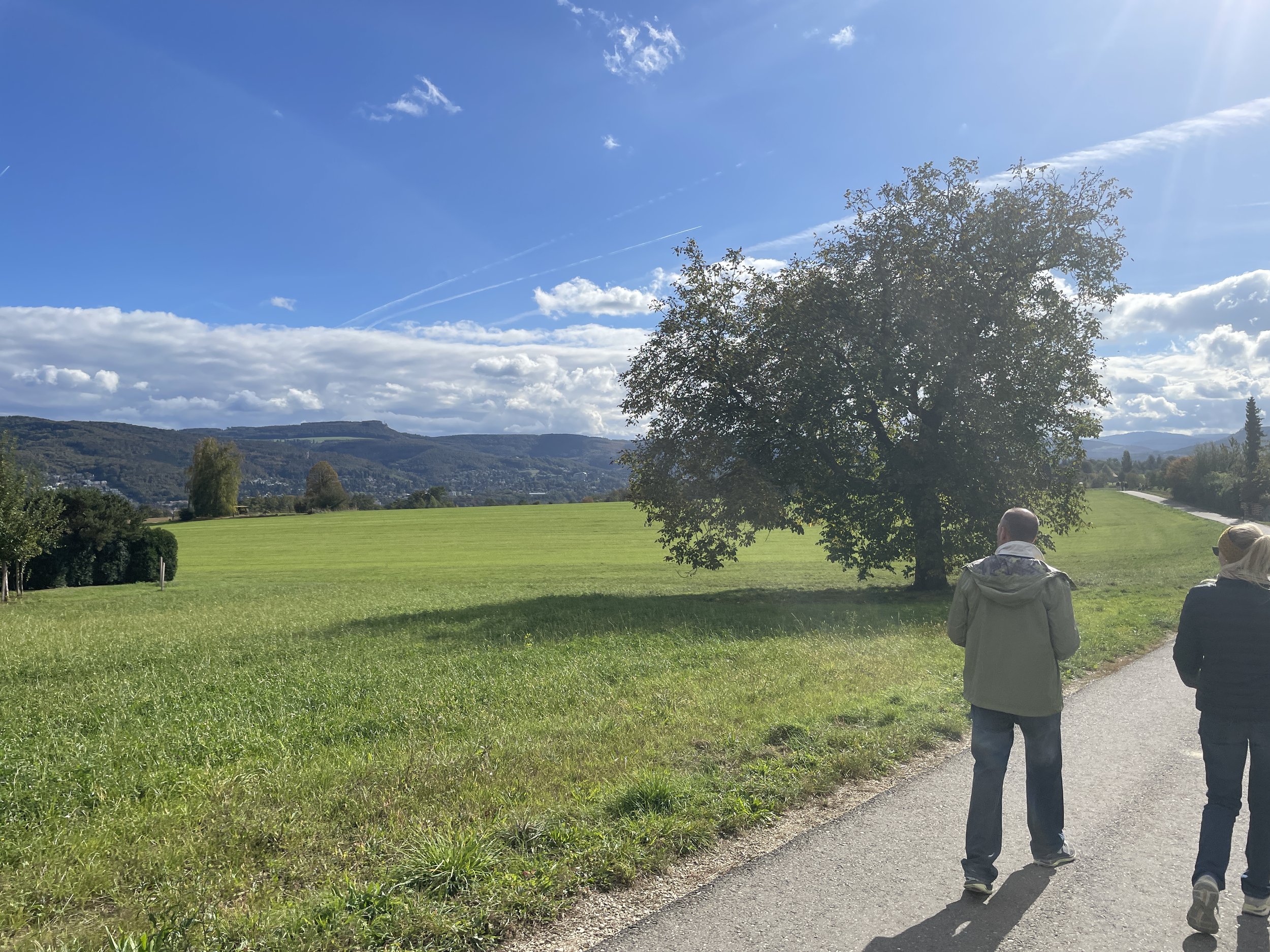
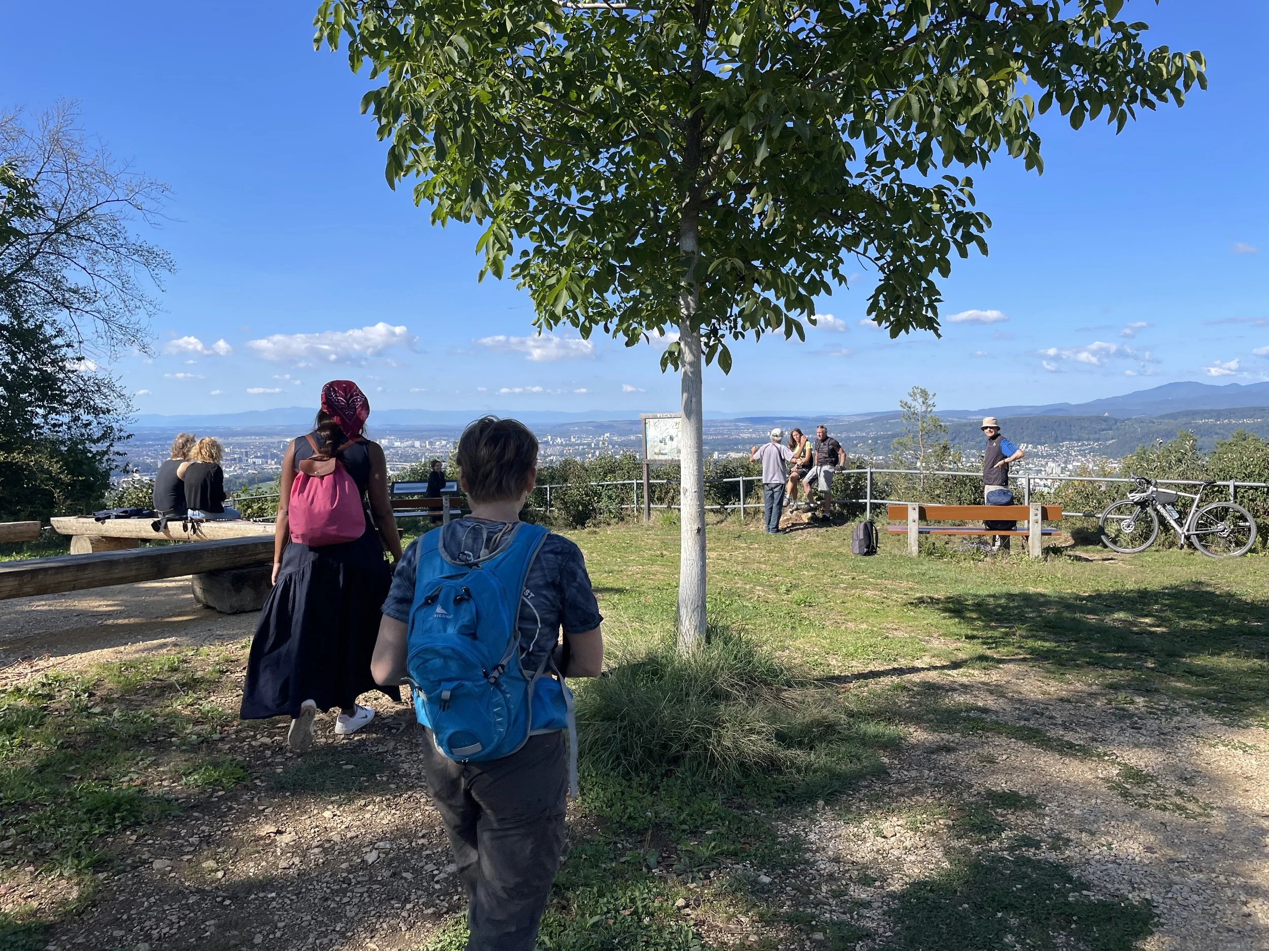
2-3km (175m gain); A short but steep incline through the woods to reach the Wartenberg Castle Ruins.
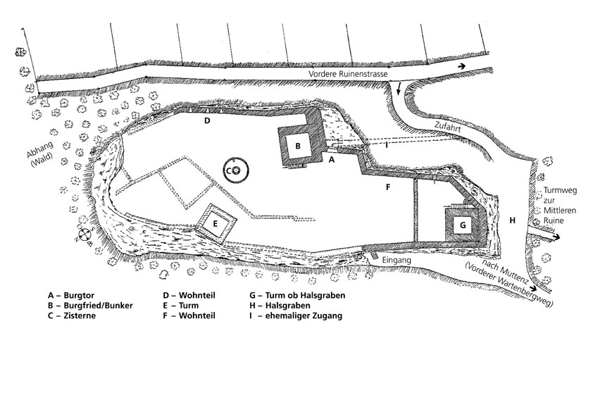
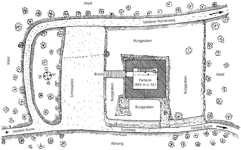
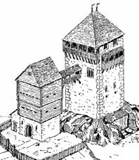
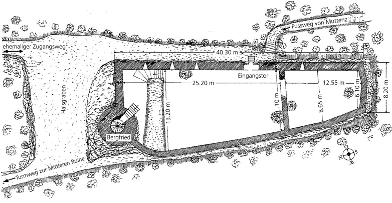
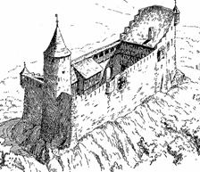
Take your time here, Wartenberg has tons of ruins to explore. There are plenty of places to grill a sausage and relax with great views in all directions. The local signs are only in German, actually I couldn't find any website with information in English so either bring along a German speaking friend or get use to using Google Translate!
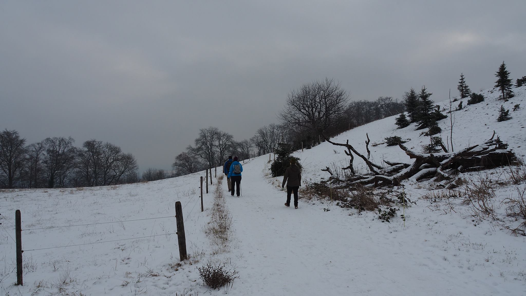
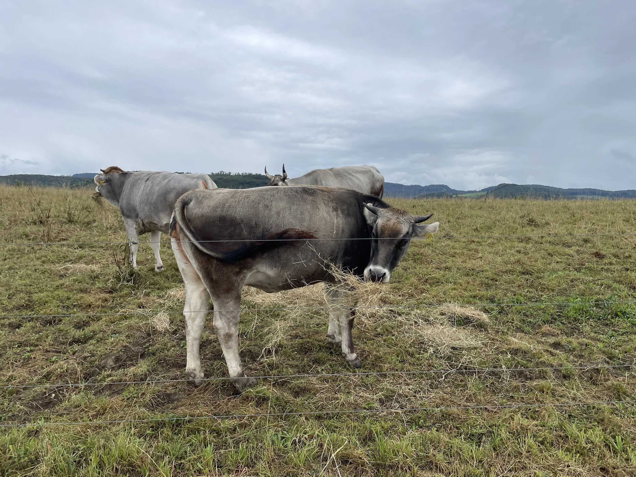
3-5.25km (20m loss); The walk down from the ruins is pleasant with views of small Swiss farms. Soon you will come to the Egglisgraben restaurant where you can pause for a coffee or more depending on your day.
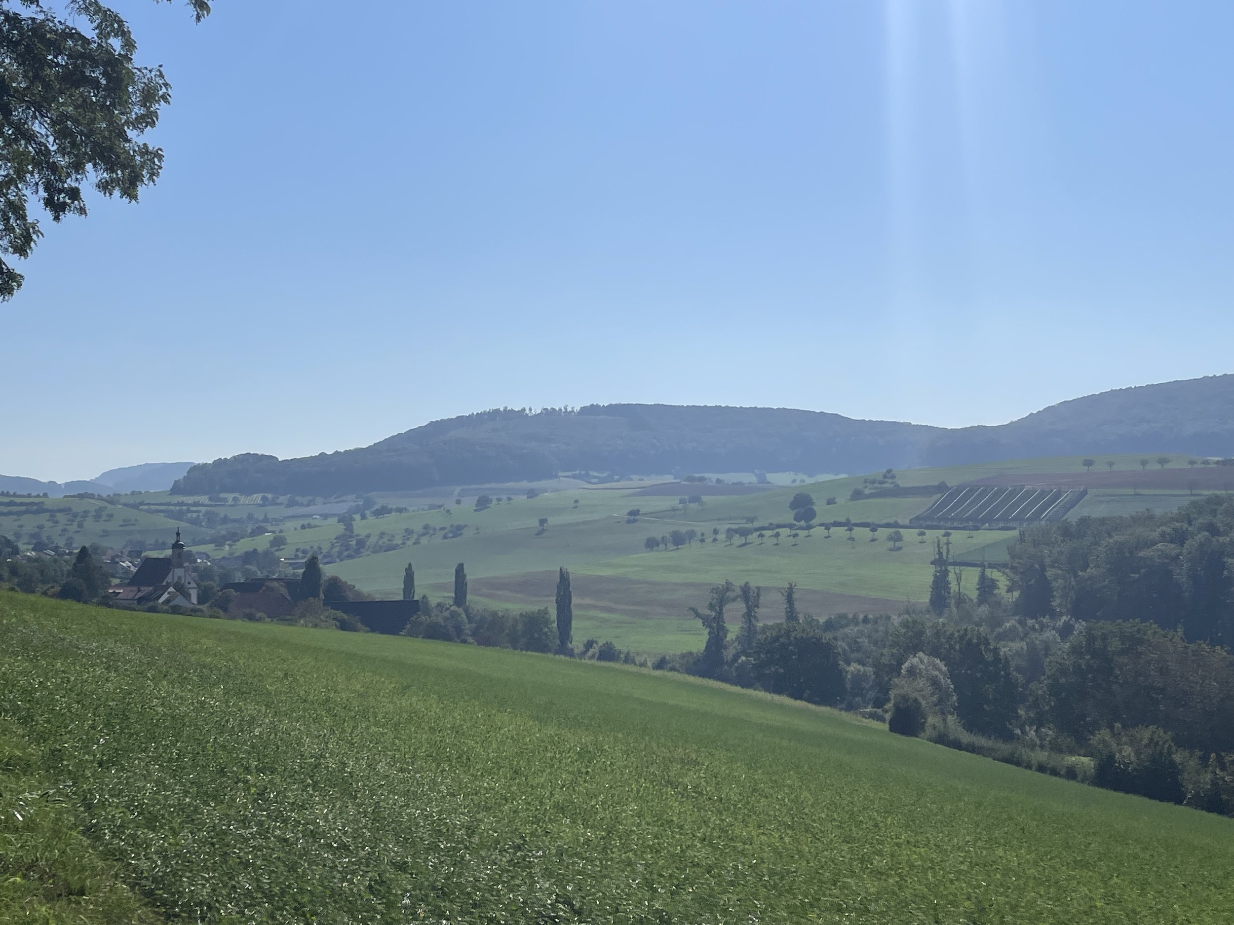
5.25-6.25km (150m loss); The last bit of descent on this hike passes a field that is reminiscent of the Sound of Music field from the opening sequence. In the winter this field is also a great place for sledding!
6.25-7.47km (20m loss); After passing the school you enter the village of Pratteln. A short walk through a residential part leads you to the tram stop and after that the train station.
Map of hike from Muttenz to Pratteln, Switzerland

Elevation profile for hike from Muttenz to Pratteln


Learn how to plan a hike in Switzerland using the SwitzerlandMobility app.